 Most popular
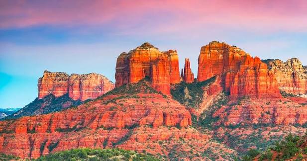
Sedona Red-Rock Air Tour
Departs & returns Sedona (SEZ)
- Cathedral Rock, Bell Rock & Courthouse Butte
- Oak Creek Canyon & the Verde Valley
- Takeoff off the edge of the mesa
Daily
Call for current pricing
Grand Canyon is Open. South Rim hotels in Tusayan are open for business.
Sedona Airport (SDX/SEZ) is a general-aviation and air-tour airport perched on a mesa about 500 feet above town — charter and scenic flights only, with no scheduled airlines. Its "tabletop" runway is one of the most photographed in the country, and it's a base for red-rock sightseeing flights. For commercial service you'll fly into Phoenix or Flagstaff and drive; to fly over the Grand Canyon, Grand Canyon Scenic Airlines operates from Boulder City near Las Vegas.
Jump to scenic flights ↓The spec snapshot. Sources: FAA / AirNav, May 2026.
Tap a landmark to highlight it. Distances per Google Maps, June 2026.
Sedona Airport sits right in the middle of the red rocks — on a mesa about 500 feet above town, a 10-minute drive from Uptown and minutes from Cathedral Rock, Bell Rock and the Airport Mesa vortex. It's a sightseeing field first and foremost: scenic fixed-wing and helicopter tours over the formations launch from here all day.
Because there's no scheduled airline service, commercial travelers fly into Phoenix (≈2 hours) or Flagstaff (≈45 minutes) and drive in — the Oak Creek Canyon route from Flagstaff is itself one of America's great scenic drives. To fly over the Grand Canyon, route to Las Vegas and connect to our Boulder City scenic flights.
The signature view: tours radiating from SEZ. Toggle tours vs. getting here.
Sedona's airport is a sightseeing base. Fixed-wing and helicopter tours depart all day over the formations — Cathedral Rock, Bell Rock, Courthouse Butte and Oak Creek Canyon — and some extended fixed-wing tours reach the Grand Canyon. To fly over the canyon itself with scheduled scenic service, connect via Las Vegas to our Boulder City flights.
Most popular
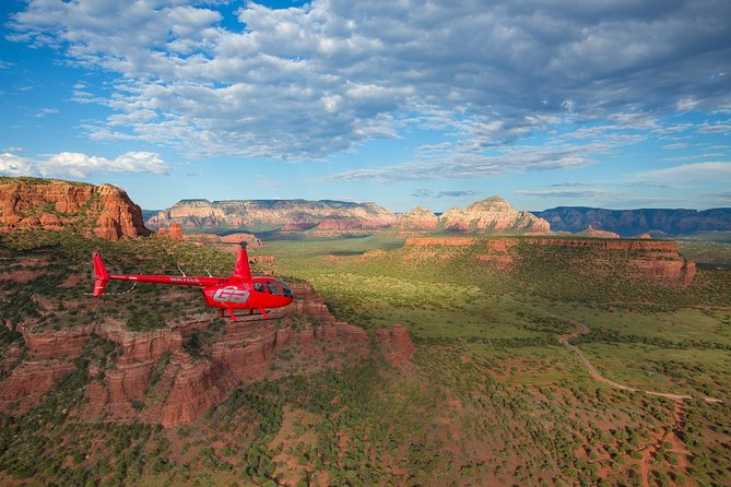
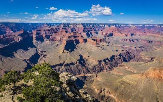
* Sedona air and helicopter tours are operated by independent scenic operators based at SEZ; schedules & pricing vary by season. Scenic flights over the Grand Canyon are operated by Grand Canyon Scenic Airlines from Boulder City (BLD), near Las Vegas. Confirm current schedules & fares at booking.
| Route | Time | Mode | Operator | Scenic highlights | From |
|---|---|---|---|---|---|
| Sedona red-rock air tour departs & returns SEZ |
~20–40 min | Scenic air | Local operators | Cathedral Rock · Bell Rock · Oak Creek | Enquire |
| Sedona helicopter tour departs & returns SEZ |
~15–30 min | Helicopter | Local operators | Red-rock spires up close | Enquire |
| Sedona → Grand Canyon South Rim day trip |
2h 15m | Drive | — | via Oak Creek Canyon & US-180 | 115 mi |
| Las Vegas → Boulder City scenic connect to fly the canyon |
— | Air + scenic | Major carriers → GCSA | Flying over the Grand Canyon | see routes |
No scheduled airlines — a general-aviation & air-tour field.
Sedona Airport has no scheduled commercial airline service — its 5,132-foot mesa-top runway can't take 737-class jets, and scheduled flights ended in the late 1990s. Today it runs on general aviation, private charter, flight training and a busy roster of scenic air-tour operators. For airline travel, the nearest options are Flagstaff (FLG) and Phoenix (PHX).
| Use | Type | Based at SEZ | Notes |
|---|---|---|---|
| Scenic air tours | Fixed-wing & biplane | Yes | Red-rock sightseeing some extend to the canyon |
| Helicopter tours | Rotor-wing | Yes | Low-level red-rock flights |
| Private & charter | GA / Part 135 | Yes | Full-service FBO & fuel |
| Scheduled airlines | — | No | Fly PHX or FLG & drive |
On the mesa, 2 miles from Uptown. Rental cars at the FBO.
Airport Road drops off the mesa into West Sedona and Uptown, lined with overlooks. Rideshare and hotel shuttles serve the airport; many resorts are within 10 minutes.
Most visitors fly into PHX (≈2 hours by car) or FLG (≈45 minutes via the Oak Creek Canyon scenic byway) and drive in — there's no scheduled service to SEZ.
The full-service FBO offers fuel, parking and a pilot lounge, with car rental and a mesa-view restaurant at the terminal — handy for flying clubs and charters.
The credibility layer. Pilot data in the collapsible block.
| Runway | Length | Width | Surface |
|---|---|---|---|
| 3/21 | 5,132 ft (1,564 m) | 100 ft | Asphalt · 1.9% gradient |
FAA & airport data, 2025.
Drop replacements in. Filenames preset for the image pack.
Which airport should you use? Compare, then pick.
| Code | Airport | To Sedona | Service | Best for | |
|---|---|---|---|---|---|
| FLG | Flagstaff Pulliam Flagstaff, AZ |
30 mi / 45 min | Commercial | Closest commercial airport to Sedona | Guide → |
| PHX | Phoenix Sky Harbor Phoenix, AZ |
115 mi / ~2 hrs | Commercial | Cheapest fares & widest schedule | Guide → |
| GCN | Grand Canyon National Park Tusayan, AZ |
~115 mi to South Rim | Charter / scenic | Arriving at the rim by air | Guide → |
| PGA | Page Municipal Page, AZ |
165 mi / ~3 hrs | Commercial | Antelope Canyon & Lake Powell | Guide → |
| LAS | Harry Reid International Las Vegas, NV |
via scenic flight | Commercial | Connecting to canyon scenic flights | Guide → |
Tap any question to expand.
Sedona's mesa-top airport is a scenic-flight base in the red rocks. To fly over the Grand Canyon, connect via Las Vegas to Grand Canyon Scenic Airlines from Boulder City — flying the canyon since 1927.