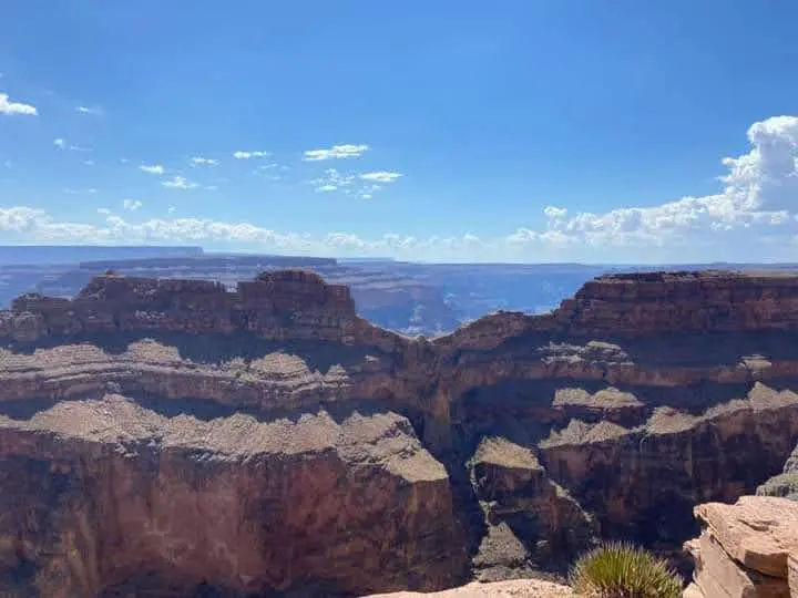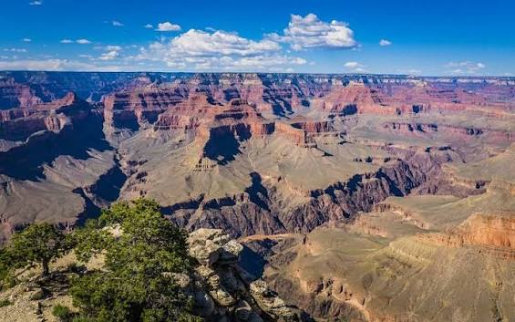
Grand Canyon is Open. South Rim hotels in Tusayan are open for business.

§ 01

Quick Facts

The spec snapshot. Sources: FAA / City of Phoenix, May 2026.

Codes
PHX · KPHX
FAA LID: PHX
Elevation
1,135ft
346 m · Salt River Valley
Runways
3 parallel
longest 11,489 ft
Operator
City of Phoenix
Aviation Dept.
To downtown
~10 min
≈ 3 mi west
Commercial
Major hub
American · Southwest
Time zone
MST
UTC−7 · no DST
To South Rim
231 mi
≈ 3h 35m drive
231 mi to Grand Canyon South Rim
—:—
Local time · Phoenix, AZ
MST year-round — Arizona does not observe DST.
§ 02

What Phoenix Gates

Tap a landmark to highlight it. Distances per Google Maps, June 2026.

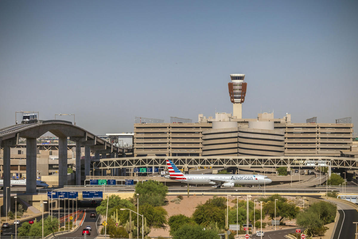
PHX is the workhorse for Arizona travel — barely 3 miles from downtown Phoenix, with the widest, cheapest flight selection in the state. For the Grand Canyon it's a 231-mile, 3-hour-35-minute drive to the South Rim, or a short regional connection onward.

Many canyon travelers fly PHX, then either drive, connect to Flagstaff (FLG) on American Eagle and drive the last 90 minutes, or fly Page (PGA) on Contour for Antelope Canyon. To actually fly over the canyon, route to Las Vegas and connect to our scenic flights from Boulder City.

§ 03

From Phoenix to the Grand Canyon

The signature view. Toggle canyon access vs. who flies into PHX.

Canyon access ★ = Phoenix (PHX)

Canyon access from Phoenix

Phoenix isn't a scenic-flight base, but it's the broadest gateway. For the South Rim, drive (3h 35m) or connect to Flagstaff (FLG) on American Eagle and drive the last 90 minutes. For Antelope Canyon & Lake Powell, Contour flies Page (PGA). To fly over the canyon itself, route to Las Vegas and connect to our Boulder City scenic flights.

Regional flight · American Eagle / Contour
Drive · highway
Airport / city
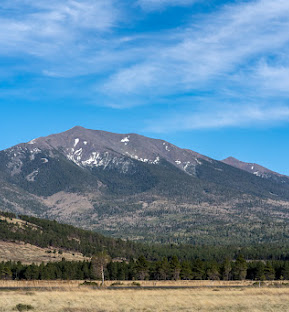
San Francisco Peaks near Flagstaff South Rim pick

Phoenix → Flagstaff (FLG)

American Eagle · then ~1h 30m drive to the South Rim
Flight time
~50 min
Aircraft
CRJ regional
Frequency
Daily
  • Nearest commercial airport to the South Rim
  • Shortest final drive of any option (~90 min)
  • Also connects to Sedona red-rock country
Daily
Fares vary · check airline

View airport →
Antelope Canyon

Phoenix → Page (PGA)

Contour Airlines · Antelope Canyon & Lake Powell
Flight time
~1h 15m
Aircraft
30-seat jet
Frequency
Most days
  • Closest airport to Antelope Canyon (Navajo-guided)
  • Horseshoe Bend & Lake Powell minutes away
  • Essential Air Service route
$99
Starting at · one-way
View airport →
West Rim Eagle Point area

Fly the Canyon (via Las Vegas)

Connect PHX → LAS → Boulder City scenic flights
PHX → LAS
~1h 10m
Then
Scenic air
Rim
West / South
  • The way to actually fly over the canyon
  • Grand Canyon Scenic Airlines from Boulder City
  • West Rim from $259 · South Rim from $305
See routes
via Boulder City (BLD)
View hub →

* Regional airline schedules & fares are set by the operating carriers and vary; Contour Page fares starting at, as of June 2026. Scenic flights are operated by Grand Canyon Scenic Airlines from Boulder City (BLD), near Las Vegas. Confirm current schedules & fares at booking.

RouteTimeModeOperatorBest forFrom
Phoenix → Flagstaff (FLG)
then ~1h 30m drive
~50 minRegional airAmerican Eagle Shortest drive to South RimFares vary
Phoenix → Page (PGA)
Antelope Canyon & Lake Powell
~1h 15mRegional airContour Airlines Slot canyons & Lake Powell$99*
Phoenix → South Rim by road
via I-17 & AZ-64
3h 35mDrive Direct self-drive · 231 mi
Phoenix → Las Vegas → Boulder City
connect to scenic flights
~1h 10m + transferAir + scenicMajor carriers → GCSA Flying over the canyonsee routes
§ 04

Airlines & Commercial Service

A top-ten US hub — the widest schedule of any Arizona airport.

Phoenix Sky Harbor is an American Airlines hub and a major Southwest Airlines base — together those two carry more than 70% of passengers. Every major US carrier plus a growing roster of international airlines serve PHX, with onward regional connections to Flagstaff (FLG) and Page (PGA) that put the Grand Canyon region within easy reach.

Carrier groupRole at PHXTerminalNotes
American Airlines Major hub T4 Hub American Eagle connects to FLG
Southwest Airlines Large base T4 With AA, carries 70%+ of passengers
Delta · United · Alaska · Frontier Network & low-cost T3 / T4 Nationwide nonstops
International & regional Intl carriers · Contour to PGA T3 / T4 ~5% intl; Contour serves Page (PGA)
§ 05

Getting Here & Ground Transport

3 miles from downtown. PHX Sky Train links terminals, transit & rentals.

Terminal
3400 E Sky Harbor Blvd, Phoenix, AZ 85034 · 33.4343°N, 112.0116°W
Get directions →

To downtown & the Valley

3 mi · ~10 min

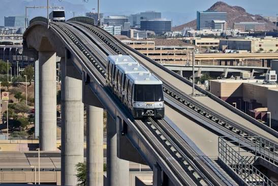
Sky Harbor is unusually central. Taxis, rideshare and hotel shuttles serve both terminals; the PHX Sky Train links to Valley Metro light rail at the 44th Street station.

To the Grand Canyon

231 mi · 3h 35m

Drive I-17 north to AZ-64 for the South Rim, or connect to Flagstaff (FLG) and drive the last 90 minutes. For Page, fly Contour or drive ~4h 20m.

Rental cars & transit

Sky Train · RC Center

The free, 24-hour PHX Sky Train connects both terminals to the consolidated Rental Car Center and light rail — no shuttle bus required.

§ 06

Airport Specs & Facilities

The credibility layer. Pilot data in the collapsible block.

Runways · concrete · parallel
RunwayLengthNote
8/2611,489 ft (3,502 m)Longest
7R/25L10,300 ft (3,139 m)Widebody-capable
7L/25R7,800 ft (2,377 m)Inner parallel
Field data
Elevation
1,135 ft (346 m)
Coordinates
33.4343°N, 112.0116°W
Terminals
T3 (John McCain) & T4 · 119 gates
Airspace
Class B (Phoenix)
Site area
3,400 acres
Owner
City of Phoenix
Tower
326-ft ATCT · PHX TRACON · Class B
Runways
All three handle 900,000+ lb MTOW
Note
Extreme summer heat → high density altitude
FBO
Cutter Aviation · Signature
Cargo
West-side cargo & GA ramps
Access
PHX Sky Train to all terminals
Terminal amenities
Rental cars
RC Center · Sky Train
PHX Sky Train
Free · 24-hour
Light rail
Valley Metro · 44th St
Dining & shops
Both terminals
Airport museum
Art & exhibits
Rideshare
Both terminals
§ 07

By the Numbers

Calendar year 2024 (City of Phoenix Aviation Dept.).

52.3M
Passengers in 2024
an all-time record
486K
Aircraft operations a year
~96% air carrier & air taxi
119
Active gates · two terminals
T3 (John McCain) & T4
$44B
Annual economic impact
Arizona's largest economic engine
§ 09

Other Airports Nearby

Which airport should you use? Compare, then pick.

CodeAirportTo South RimServiceBest for
FLG Flagstaff Pulliam
Flagstaff, AZ
81 mi / 1h 32m Commercial Nearest commercial airport to the rim Compare →
GCN Grand Canyon National Park
Tusayan, AZ
1 mi to park entrance Charter / scenic Arriving at the rim by air Guide →
PGA Page Municipal
Page, AZ
130 mi / 2h 30m Commercial Antelope Canyon & Lake Powell Guide →
LAS Harry Reid International
Las Vegas, NV
via scenic flight Commercial Connecting to canyon scenic flights Guide →
AZA Phoenix-Mesa Gateway
Mesa, AZ
240 mi / ~3h 45m Commercial Low-cost (Allegiant) alternative Compare →
§ 10

Frequently Asked

Tap any question to expand.

Flying into Phoenix? Here's how to reach the canyon.

Drive or connect to the South Rim and Page from PHX — or route to Las Vegas and fly the canyon with Grand Canyon Scenic Airlines, flying the canyon from Boulder City since 1927.

Phoenix Sky Harbor International Airport (PHX) · 3400 E Sky Harbor Blvd, Phoenix, AZ 85034
Scenic reservations · (702) 638-3300 · res@flygcsa.com
Scenic flights depart Boulder City · MST year-round
Scenic.com · Brand v1 · 2026 Reservations · (702) 638-3300 · res@flygcsa.com