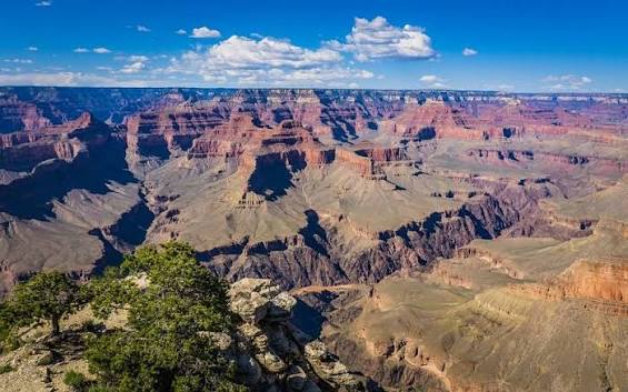
 South Rim pick
Gateway → Grand Canyon South Rim
Drive · Loop 202 → I-17 → AZ-64
- Cheapest fares into Phoenix, then drive north
- Pass Sedona & Flagstaff en route
- On-site rental cars at the terminal
245 mi
~3h 50m drive
Grand Canyon is Open. South Rim hotels in Tusayan are open for business.
Phoenix-Mesa Gateway Airport (AZA) is the Phoenix area's low-cost airport, in Mesa about 20 miles southeast of downtown — Allegiant's western base and a budget alternative to Sky Harbor. It's about 245 miles, a 3-hour-50-minute drive, from the Grand Canyon's South Rim. There are no scenic flights to the canyon from AZA; Grand Canyon Scenic Airlines flies the canyon from Boulder City near Las Vegas, where we've operated since 1927.
Jump to canyon routes ↓The spec snapshot. Sources: FAA / airport authority, May 2026.
Tap a landmark to highlight it. Distances per Google Maps, June 2026.
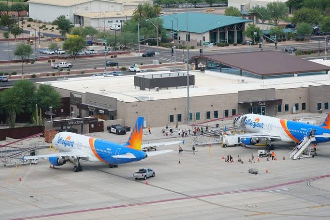
Gateway is the Phoenix area's budget door — in Mesa's East Valley, about 20 miles southeast of downtown Phoenix and close to Gilbert, Chandler and Queen Creek. Built on the former Williams Air Force Base, it's smaller and calmer than Sky Harbor, and it's where Allegiant concentrates its low-cost leisure flying.
For the Grand Canyon it's a 245-mile, roughly 3-hour-50-minute drive to the South Rim — a bit farther than Sky Harbor because you start east of the city. Many canyon travelers fly the cheaper AZA fare, then drive or connect via Flagstaff. To fly over the canyon, route to Las Vegas and connect to our Boulder City scenic flights.
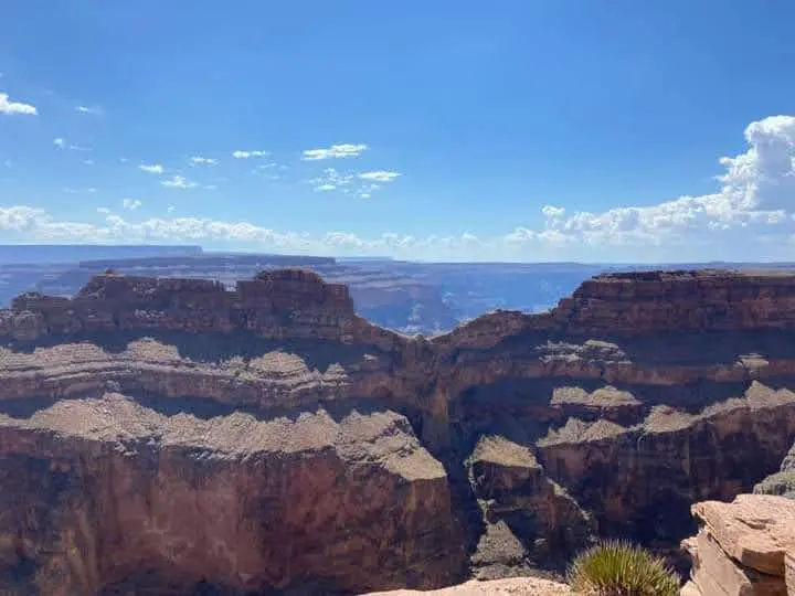
The signature view. Toggle canyon access vs. who flies into AZA.
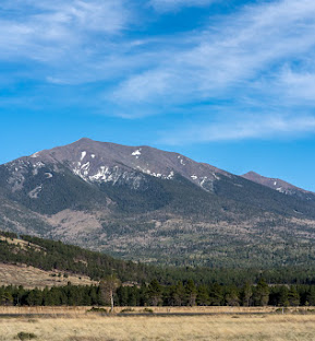
Gateway isn't a scenic-flight base — it's a low-cost gateway. For the South Rim, drive (3h 50m) or connect via Flagstaff (FLG) and drive the last 90 minutes. Sedona is about 2 hours by road. To fly over the canyon itself, route to Las Vegas and connect to our Boulder City scenic flights.
South Rim pick
* Allegiant and other airline schedules & fares are set by the operating carriers and vary. Scenic flights are operated by Grand Canyon Scenic Airlines from Boulder City (BLD), near Las Vegas; West Rim from $259, South Rim from $305 (starting at, as of June 2026; fuel surcharges may apply). Confirm current schedules & fares at booking.
| Route | Time | Mode | Operator | Best for | From |
|---|---|---|---|---|---|
| Gateway → Grand Canyon South Rim via Loop 202 / I-17 / AZ-64 |
3h 50m | Drive | — | Cheapest fare in, then road trip · 245 mi | — |
| Gateway → Flagstaff → South Rim break the drive north |
2h 25m + 1h 30m | Drive | — | Sedona & Flagstaff stopovers | — |
| Who flies into AZA low-cost leisure |
varies | Air | Allegiant + seasonal | Budget fares to/from the Midwest & West | Fares vary |
| Gateway → Las Vegas → Boulder City connect to scenic flights |
~1h 10m + transfer | Air + scenic | Carriers → GCSA | Flying over the canyon | see routes |
A low-cost leisure airport — Allegiant's western stronghold.
Phoenix-Mesa Gateway is built around low-cost leisure flying, led by Allegiant Air, which bases aircraft here and flies nonstop to dozens of small and mid-size cities across the country. Other ultra-low-cost and seasonal carriers come and go. The trade-off versus Sky Harbor: fewer destinations and a longer drive to the canyon, but often noticeably cheaper fares and an easier, smaller terminal.
| Carrier | Role at AZA | Network | Notes |
|---|---|---|---|
| Allegiant Air | Main carrier / base | Nationwide leisure | Base Most of the airport's flights |
| Ultra-low-cost & seasonal | Leisure routes | Varies | Carriers and routes change seasonally |
| Charter & general aviation | GA / training | Regional | Flight schools & business aviation |
| Network hubs / canyon | — | via PHX / FLG / LAS | No nonstop to the canyon |
In Mesa's East Valley, off Loop 202 (Santan). Rental cars on-site.
Loop 202 (Santan) and US-60 link Gateway to Mesa, Gilbert, Chandler and downtown Phoenix. Rideshare and hotel shuttles serve the terminal; there's no light rail to the airport.
Drive Loop 202 to I-17 north, then AZ-64 to the South Rim. Or break the trip in Sedona (~2 hrs) or Flagstaff (~2h 25m), the closest commercial airport to the rim.
Rental-car counters and economy/covered parking sit steps from the single terminal — quick in and out, which is much of Gateway's appeal for a canyon road trip.
The credibility layer. Pilot data in the collapsible block.
| Runway | Length | Note |
|---|---|---|
| 12C/30C | 10,401 ft (3,170 m) | Longest · widebody-capable |
| 12L/30R | 10,201 ft (3,109 m) | Parallel |
| 12R/30L | 9,300 ft (2,835 m) | Parallel |
FAA & airport authority data, 2024.
Drop replacements in. Filenames preset for the image pack.

Which airport should you use? Compare, then pick.
| Code | Airport | To South Rim | Service | Best for | |
|---|---|---|---|---|---|
| PHX | Phoenix Sky Harbor Phoenix, AZ |
231 mi / 3h 35m | Commercial | Widest schedule & full-service hub | Guide → |
| FLG | Flagstaff Pulliam Flagstaff, AZ |
81 mi / 1h 32m | Commercial | Closest commercial airport to the rim | Guide → |
| GCN | Grand Canyon National Park Tusayan, AZ |
1 mi to park entrance | Charter / scenic | Arriving at the rim by air | Guide → |
| PGA | Page Municipal Page, AZ |
130 mi / 2h 30m | Commercial | Antelope Canyon & Lake Powell | Guide → |
| LAS | Harry Reid International Las Vegas, NV |
via scenic flight | Commercial | Connecting to canyon scenic flights | Guide → |
Tap any question to expand.
Drive or connect to the South Rim and Page from AZA — or route to Las Vegas and fly the canyon with Grand Canyon Scenic Airlines, flying the canyon from Boulder City since 1927.