Grand Canyon is Open. South Rim hotels in Tusayan are open for business.

§ 01

Quick Facts

The spec snapshot. Sources: FAA / AirNav, May 2026.

Codes
GCW · 1G4
ICAO: K1G4
Elevation
4,825ft
1,471 m · on the rim
Runway
1 asphalt
17/35 · 5,000 ft
Operator
Hualapai Tribe
Mohave County, AZ
To Skywalk
~5 min
2 mi · free shuttle
Commercial
Scenic / charter
No major airlines
Time zone
MST
UTC−7 · no DST
Scenic flights
Daily
From BLD · heli
2 mi shuttle to Skywalk / Eagle Point
—:—
Local time · Grand Canyon West
MST year-round — Arizona does not observe DST.
§ 02

What Grand Canyon West Gates

Tap a landmark to highlight it. Distances per Google Maps, June 2026.

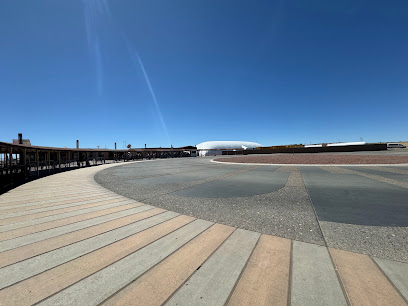
This is the only airport on the canyon rim itself. The Skywalk and Eagle Point are about a 2-mile, 5-minute shuttle from the terminal, with Guano Point and Hualapai Ranch a few minutes further along the rim. Private vehicles aren't allowed inside Grand Canyon West, so every visitor rides the Tribe's complimentary hop-on, hop-off shuttle.

Grand Canyon West is on the Hualapai Reservation, managed by the Hualapai Tribe — it is not part of Grand Canyon National Park, which lies hours to the east. Admission packages are sold by the Tribe, and proceeds support the Hualapai Nation.

§ 03

Scenic Flights From & To Grand Canyon West

The signature view: routes radiating from GCW. Toggle inbound vs. canyon tours.

Inbound routes ★ = Grand Canyon West (GCW)

Getting here by air

There's no scheduled major-airline service into GCW. The scheduled scenic connection comes from Boulder City (BLD), near Las Vegas — Grand Canyon Scenic Airlines flies the ~35-minute leg several times daily, over Hoover Dam and Lake Mead. Papillon also runs helicopter service in from the Las Vegas area.

Scenic flight · Grand Canyon Scenic Airlines
Other air-tour operator
Airport / landmark
West Rim Eagle Point area Most popular

Boulder City → Grand Canyon West

Departs Boulder City (BLD) → lands Grand Canyon West (GCW)
Flight time
~35 min
Frequency
3× daily
Aircraft
Vistaliner
  • Over Hoover Dam, Lake Mead & the West Rim
  • Lands on the Hualapai-managed rim
  • Free Las Vegas hotel transfers
$259
Starting at · one-way
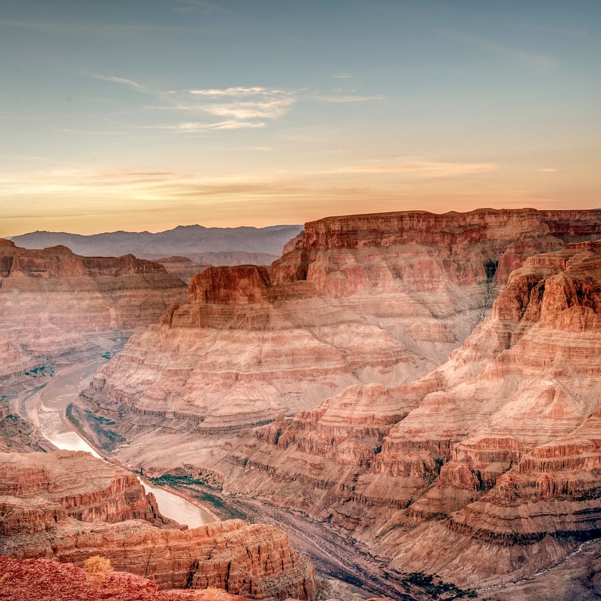
Western canyon country en route to Boulder City

Grand Canyon West → Boulder City

Departs Grand Canyon West (GCW) → lands Boulder City (BLD)
Flight time
~35 min
Frequency
3× daily
Aircraft
Vistaliner
  • Return leg over the West Rim & Lake Mead
  • Same Vistaliner scenic corridor in reverse
  • Lands at the Boulder City scenic hub
$259
Starting at · one-way
Colorado River corridor at Grand Canyon West

Canyon-Floor Helicopter & River

Departs & returns Grand Canyon West (GCW)
Duration
~40 min + boat
Aircraft
EC130
Operator
Hualapai / Papillon
  • Descend ~4,000 ft to the canyon floor
  • Pontoon ride on the Colorado River
  • A West-Rim add-on, booked at the rim
$171
Starting at · per person
View tours →

* Scheduled on tour-operating days, weather permitting. Prices starting at, as of June 2026; fuel surcharges may apply. Canyon-floor & Skywalk activities are operated at Grand Canyon West by the Hualapai Tribe. Confirm current schedule & fares at booking.

RouteFlight timeFrequencyAircraftScenic highlightsFrom
Boulder City (BLD) → Grand Canyon West (GCW)
Inbound · near Las Vegas
~35 min3× dailyCessna Vistaliner Hoover Dam · Lake Mead · West Rim$259*
Grand Canyon West (GCW) → Boulder City (BLD)
Return leg
~35 min3× dailyCessna Vistaliner West Rim · Lake Meadincl.
Las Vegas → Grand Canyon West helicopter
Papillon · from LAS / BLD
~45 minDailyEC130 Hoover Dam · Lake Mead · canyonEnquire
West Rim canyon-floor heli + river
Departs & returns GCW
~40 min + boatDailyEC130 (Hualapai / Papillon) Canyon floor · Colorado River$171*
§ 04

Commercial Service & Operators

No scheduled major airlines — the rim runs on scenic & charter.

Grand Canyon West Airport has no scheduled major-airline service — virtually all of its traffic is air-taxi: scenic and charter flights from Boulder City, Las Vegas and Phoenix, plus helicopters that land on the canyon floor. Visitors arriving by air transfer to the Hualapai Tribe's complimentary shuttle for the Skywalk, Guano Point and the other West Rim attractions.

OperatorTypeFliesAircraftNotes
Grand Canyon Scenic Airlines Scheduled scenic From BLD Cessna Vistaliner Serves GCW Flying the canyon since 1927
Papillon Grand Canyon Helicopters Helicopter tours From LAS / BLD Eurocopter EC130 Rim landings & canyon-floor tours
Maverick Helicopters Helicopter tours From LAS Eurocopter EC130 West Rim sightseeing
Hualapai Tribe operations Rim shuttle & tours On-rim Shuttle / heli / boat No major airlines
§ 05

Getting Here & Ground Transport

On the Hualapai Reservation. Free shuttle covers the rim.

Terminal
Diamond Bar Rd, Peach Springs, AZ 86434 · 35.9862°N, 113.8170°W
Get directions →

To the Skywalk & rim

2 mi · free shuttle

Private vehicles can't enter Grand Canyon West, so everyone rides the Tribe's complimentary hop-on, hop-off shuttle to Eagle Point, Guano Point and Hualapai Ranch.

From Las Vegas

120 mi / 2h 15m

By road it's US-93 → Pierce Ferry Rd → Diamond Bar Rd, paved the whole way. By air, the Boulder City scenic flight cuts the trip to about 35 minutes each way.

Admission & parking

Tribal packages

Entry is by a Hualapai Tribe admission package (no National Park pass applies). Parking at the entrance is free; proceeds support the Hualapai Nation.

§ 06

Airport Specs & Facilities

The credibility layer. Pilot data in the collapsible block.

Runway · asphalt
RunwayLengthWidthSurface
17/355,000 ft (1,524 m)75 ftAsphalt · MIRL/REIL
Field data
Elevation
4,825 ft (1,471 m)
Coordinates
35.9862°N, 113.8170°W
Control tower
None — uncontrolled (CTAF)
Airspace
Grand Canyon SFRA
Site area
350 acres
Owner
Hualapai Tribe
GA access
PPR 24 hrs · 928-769-2419
Approach
Los Angeles ARTCC (ZLA)
Lighting
MIRL/REIL 17/35 · CTAF
Traffic
High-speed fixed & rotary tour ops
Note
SFAR 50-2 below 14,500 MSL; practice TGL N/A
Parking
Transient · south end of apron
Terminal amenities
Rim shuttle
Free · hop-on/off
Tour desks
Air & rim tours
Restrooms
In terminal
Gift counter
Hualapai crafts
Free parking
At the entrance
Accessible
Main terminal
§ 07

By the Numbers

Operations data for the year ending June 10, 2022 (FAA).

12,917
Aircraft operations a year
≈ 35 per day
99%
Operations that are air taxi
just 1% general aviation
2mi
Shuttle from runway to the Skywalk
the closest runway to the rim
4,825ft
Rim elevation at the field
single 5,000 ft runway
§ 09

Other Airports Nearby

Which airport should you use? Compare, then pick.

CodeAirportTo West RimServiceBest for
BLD Boulder City Municipal
Boulder City, NV
~35 min by air Charter / scenic Scenic-flight hub near Las Vegas Guide →
LAS Harry Reid International
Las Vegas, NV
120 mi / 2h 15m Commercial Your flight in — then air or road transfer Guide →
GCN Grand Canyon National Park
Tusayan, AZ
different rim · ~210 mi road Charter / scenic South Rim of the National Park Guide →
PGA Page Municipal
Page, AZ
~270 mi road Commercial Antelope Canyon & Lake Powell Guide →
IGM Kingman Airport
Kingman, AZ
70 mi / 1h 30m GA / charter Nearest general-aviation field south Compare →
§ 10

Frequently Asked

Tap any question to expand.

Land on the rim, steps from the Skywalk.

Grand Canyon Scenic Airlines has flown the canyon since 1927 — scheduled scenic service from Boulder City to Grand Canyon West, on the Hualapai Reservation, with Skywalk and West Rim packages on the ground.

Grand Canyon West Airport (GCW) · Diamond Bar Rd, Peach Springs, AZ 86434 · Hualapai Reservation
Reservations · (702) 638-3300 · res@flygcsa.com
Daily, weather permitting · MST year-round
Scenic.com · Brand v1 · 2026 Reservations · (702) 638-3300 · res@flygcsa.com